- On foot: A drive, not a walk
- Getting there: About an hour's drive south-east
Leave downtown early. Weekend and October traffic toward the park entrances backs up badly by mid-morning, and mountain roads can close without warning.
Great Smoky Mountains National Park straddles the border between Tennessee and North Carolina, and its northern edge is about an hour's drive from downtown Knoxville. On a clear day you can see the long blue line of the ridges from high points in the city. It is one of the most visited national parks in the country, and a day trip from Knoxville works well if you plan around the crowds.
Choosing an entrance
From Knoxville there are two main ways in on the Tennessee side.
The busier route goes through the gateway towns south-east of the city and enters the park near the Sugarlands Visitor Center. From there, the Newfound Gap Road climbs over the main ridge to North Carolina. This is the quickest way to high elevations and big views, but it is also the most crowded, and the towns before the entrance can be slow going at weekends and in October.
The quieter route runs south through Maryville and Townsend and enters the park on the western side. This is the way to Cades Cove, and it generally has less traffic, though the cove itself can be busy.
Park roads close for snow, ice, rock slides and repairs, and closures can last days.
Cades Cove
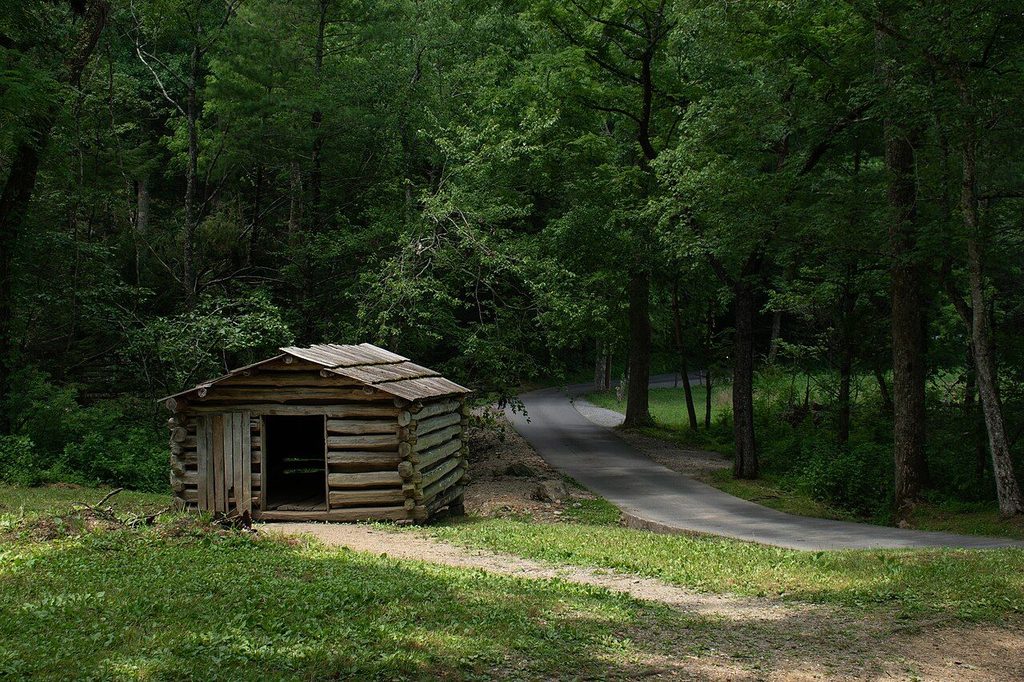
Cades Cove is a broad, open valley ringed by mountains, where farming families lived until the park was created. The park keeps the fields open and preserves a collection of log cabins, barns, churches and a working mill. A one-way loop road of about eleven miles circles the valley, with pull-offs at the historic buildings.
Deer are common in the fields, and black bears are often seen at the forest edge. Traffic on the loop moves slowly and stops whenever someone spots an animal, so allow several hours. On some days in season the loop is reserved for walkers and cyclists in the morning. Keep your distance from wildlife; approaching or feeding bears is illegal and dangerous.
Walk on to World's Fair Park and the Sunsphere
Newfound Gap and the high ridge
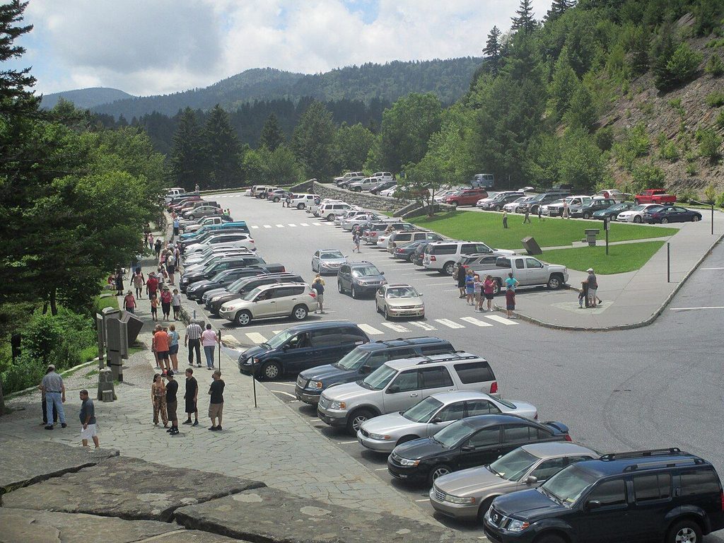
Newfound Gap sits on the state line at just over 5,000 feet. A stone memorial there marks the place where the park was dedicated in 1940, and the Appalachian Trail crosses the road beside the parking area. The air is noticeably cooler than in Knoxville, often by 15 degrees or more, and fog and rain arrive quickly, so bring layers even in summer.
A spur road near the gap leads toward Kuwohi, the highest point in the park, formerly known as Clingmans Dome. That road closes for part of each year.
Crowds, color and planning
Fall color is the park's busiest season. Leaves turn first at high elevations, usually from early October, and the color moves downhill through late October and into early November, depending on the weather. Expect heavy traffic on October weekends; weekdays and early starts make a large difference.
Late spring brings wildflowers and fresh green, and early summer is good for long days and waterfalls. Winter is quiet, with bare trees and long views, but some roads close.
Entry to the park has traditionally been free, but parking rules and fees have changed in recent years. Mobile phone signal is weak or absent in much of the park, so download a map or carry a paper one.
Food and fuel are easy to find in the gateway towns but scarce inside the park, so fill the tank and pack lunch before you cross the boundary. Picnic areas are scattered along the main roads. If you plan to walk, pick a trail that matches the time you have; the round trip to many waterfalls and viewpoints takes longer than the mileage suggests because of the climbing.
Fitting it into a Knoxville stay
A sensible pattern is a full day in the mountains followed by an easy evening downtown, perhaps on Market Square. If you only have half a day, the trails of the urban wilderness across the river give a taste of the woods much closer to town.
Bring: Layers, rain jacket, water, snacks, a paper map